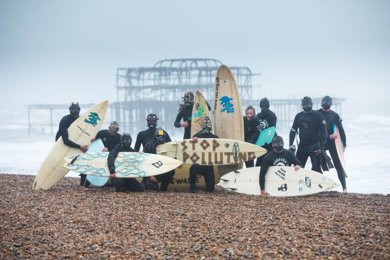


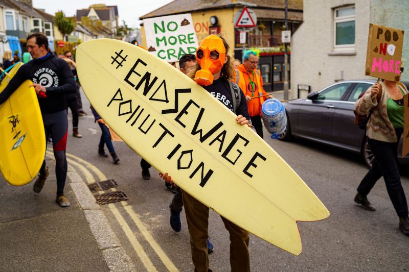
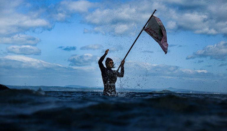
Campaign for the ocean
For the ocean to thrive, and life on earth to thrive too, we need to act now. Plastic. Chemicals. Human waste. Irresponsible production. Destructive industries. Profiteering pollution. Anyone harming the ocean is in our sights. And they won’t get away with it. Take campaign action with us today. …